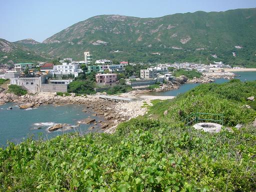
You are able to see a lot of coastal erosional features around.
|
|
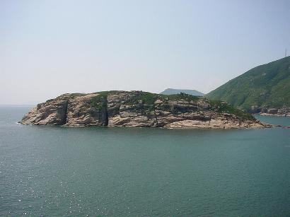
On the south of the headland, you can see an island, Ng Fan Chau. It is called so because it is divided up by 4 major joints. Some joints are widened to form sea caves. |
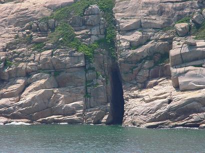
| Lines of weakness are found on the rock surface. Soon, they are widened by hydraulic action and abrasion. A sea cave is formed. |
|
|
|
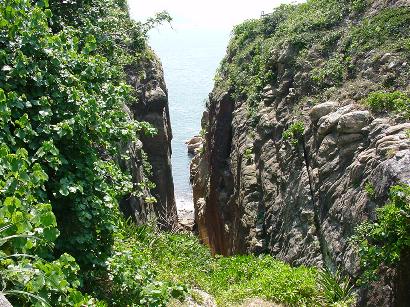
This picture was taken in Tai Tau Chau. The geo is around 100 metres in height. As the sea cave grows deeper, the roof of the sea cave collapses. A narrow inlet with two vertical walls is formed. This is called a geo. |
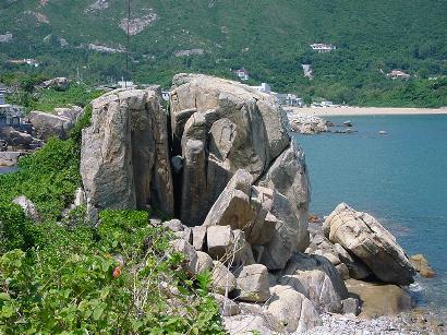
| In well-jointed rocks, like granite, cracks are found on the rock surface. During daytime, the cracks expand due to great heat. At night, the cracks contract due to lower temperature. There is alternate expansion and contraction of cracks. Soon, cracks are widened and the whole block of rock is disintegrated. |
|
|
|
Originally, Tai Tau Chau was an island near Shek O Headland. Longshore drift occurs between the headland and the island. It leads to the formation of two sand spits. They were composed of 2 different kinds of materials. The materials on the southern coast are coarser, such as boulders. The materials on the northern coast are finer, such as sand and pebbles. Later on, the 2 sand spits grew and joined up. A tombolo was formed. |
| << |